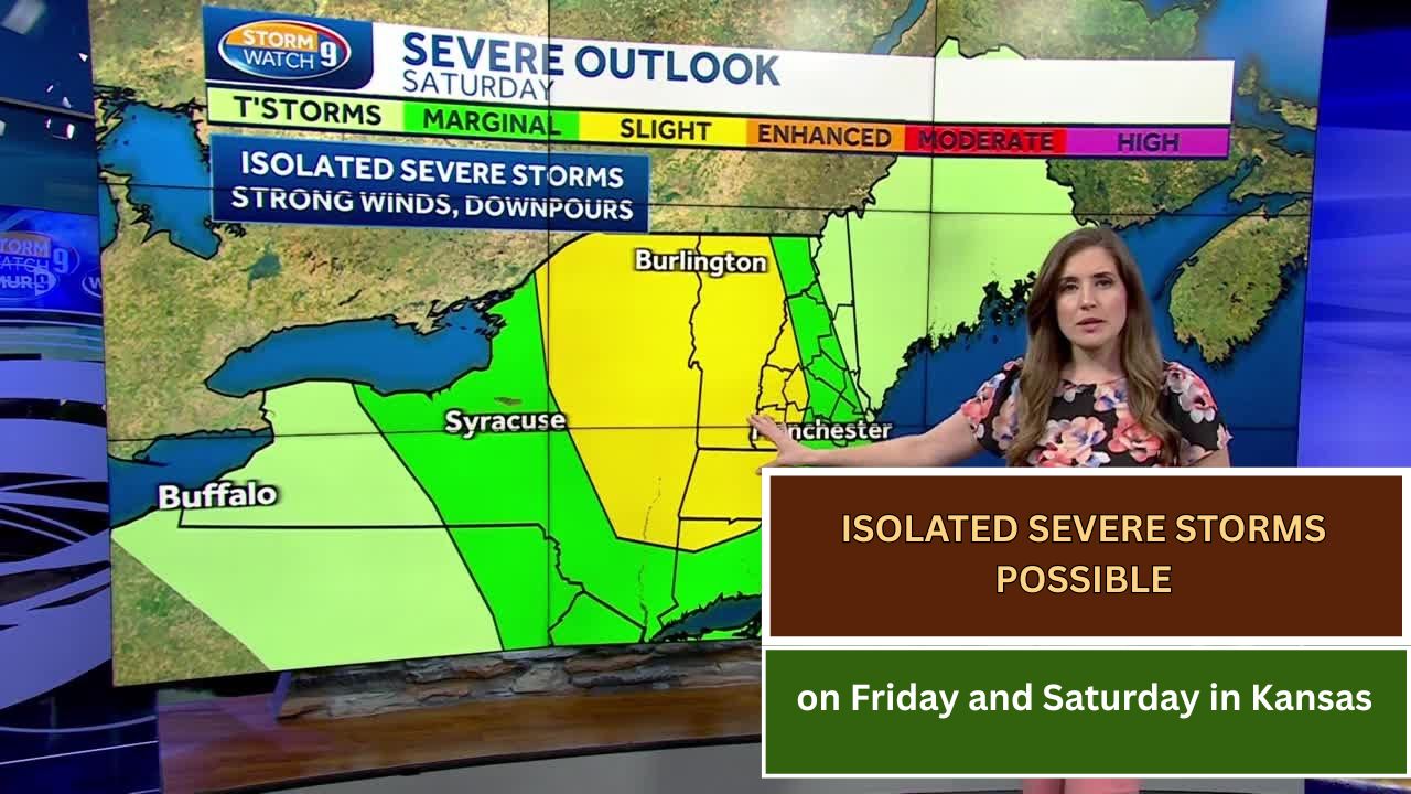
Thursday will remain quiet and dry across the state, but changes are on the way as shower and storm chances increase heading into Friday and Saturday.
While most of the storms during this period are expected to stay on the calmer side, a few could turn severe, bringing threats of:
- Large hail over 1 inch
- Wind gusts exceeding 65 mph
- A stray tornado, though the risk appears low
Friday Morning:
Showers and storms are likely to be tame, with limited rainfall expected in Western Kansas. The eastern portion of the state will see most of the activity.

Friday Afternoon & Evening:
Storms may move southeast into Northwest KAKEland. Any storms that do develop could become severe. However, with just a few isolated cells expected, the chance of being directly impacted remains slim.
Saturday:
A few more strong to marginally severe storms are possible, especially in South-Central Kansas. The stronger threat shifts south into Oklahoma, where storms may be more widespread.
Stay weather aware and monitor local forecasts for the latest updates as the weekend approaches.

This article has been carefully fact-checked by our editorial team to ensure accuracy and eliminate any misleading information. We are committed to maintaining the highest standards of integrity in our content.


Outside of work, he enjoys playing chess, following cricket, and writing short stories. His commitment to integrity and in-depth analysis strengthens OTE News’ mission of providing trustworthy journalism.