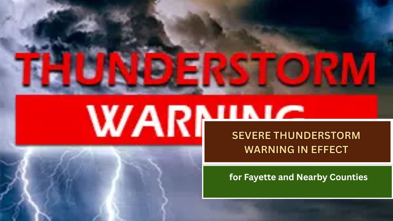
The National Weather Service in St. Louis has issued a Severe Thunderstorm Warning for the following areas in south central Illinois:
- Southeastern Bond County
- Northeastern Clinton County
- Southwestern Fayette County
- Northwestern Marion County
⏰ Effective Until: 4:00 PM CDT
At 3:14 PM CDT, radar detected a severe thunderstorm near Beaver Creek—about 6 miles north of Carlyle—moving northeast at 40 mph.
Hazards:
- Wind gusts up to 60 mph
- Quarter-sized hail
Possible Impacts:
- Hail may cause damage to vehicles
- Strong winds could damage roofs, siding, and trees
Areas Likely to Be Affected:
Vandalia, Carlyle, Kinmundy, Patoka, Tamalco, Beaver Creek, Boulder, Shobonier, Fairman, Pleasant Mound, Pittsburg, Keyesport, Alma, Vernon, St. Paul, and Stolletown
This warning also covers the Carlyle Lake Recreational Area and the following highways:
- Interstate 70 near exit 68
- Interstate 57 near exit 127
Safety Recommendations:
- Take shelter immediately in a sturdy building
- Stay away from windows
- Move to an interior room on the lowest floor
Tornadoes can form quickly from severe storms. A Tornado Watch remains in effect until 7:00 PM CDT for parts of south central Illinois. Stay alert and be prepared to take additional shelter if needed.
This article has been carefully fact-checked by our editorial team to ensure accuracy and eliminate any misleading information. We are committed to maintaining the highest standards of integrity in our content.

Outside of work, he enjoys playing chess, following cricket, and writing short stories. His commitment to integrity and in-depth analysis strengthens OTE News’ mission of providing trustworthy journalism.